
This Washington camping guide brings together Pacific beaches, mossy forests, Mount Rainier waterfalls, island shorelines and a quieter forest base east of the Cascades. Whether you travel with a tent, car camper or motorhome, start by choosing a legal campsite that fits your equipment.
Washington has several land managers, and their passes are not interchangeable. Some Department of Natural Resources campgrounds have no nightly camping charge but require a Discover Pass. National park camping, wilderness permits and state park reservations follow separate rules.
The four regions below offer different trips rather than one rushed weekend route. All distances and driving times are approximate planning estimates from the named campground. They exclude entrance queues, stops and unusual traffic; check navigation and current road conditions before leaving.
Washington camping guide: choose your region
- Olympic coast: use Kalaloch for beaches, a rain forest day trip and nearby DNR camping alternatives.
- Mount Rainier: use Cougar Rock for waterfalls, Paradise and Longmire history.
- Deception Pass: use Cranberry Lake Campground for saltwater scenery, freshwater walks and local seafood.
- Teanaway: use 29 Pines for camping without a nightly fee, forest outings and visits to Cle Elum or Roslyn.
For a short trip, stay in one region and explore from camp. For a longer vacation, move between two or three bases. The Olympic Peninsula alone deserves several days, especially if you want both coast and rain forest.
1. Olympic National Park: Kalaloch, Ruby Beach and the Hoh
Kalaloch and Ruby Beach offer a memorable introduction to Washington’s Pacific shoreline. Plan around the tide, weather and daylight rather than treating a beach outing like a paved city walk.
From Kalaloch Campground, Ruby Beach is roughly 7–8 miles and 10–15 minutes by car. Bring waterproof footwear and a windproof layer. Watch incoming waves, give driftwood a wide berth and avoid routes that could leave you trapped by a rising tide.
Keep beach plans flexible when storms arrive. A scenic forecast photograph does not tell you whether today’s shoreline is safe. Stay back from bluff edges and follow closures around damaged beach access routes.
Rain forest day trip from Kalaloch
The Hoh Rain Forest offers the 0.8-mile Hall of Mosses loop and the 1.2-mile Spruce Nature Trail. Both begin near the visitor center and provide a manageable forest outing without committing to a long wilderness trek.
Allow approximately 45–50 miles and 60–80 minutes from Kalaloch Campground, plus any entrance queue. Leave early during the busy season and bring lunch. A short trail can still take time when your group stops to look at moss, giant trees and river views.
Stay on established trails and give wildlife space. Rain gear matters more than an umbrella on narrow paths. Pack a dry layer for the return drive, particularly if children get soaked while exploring.
Paid camping inside Olympic
Kalaloch Campground lists a base fee of $24 per night. It has potable water and flush toilets, plus a dump station costing $10 per use. Sites commonly fit 21-foot RVs, with a few suitable for 35 feet; verify the exact pad before booking.
There are no hookups at Kalaloch. Its Recreation.gov listing provides site details and reservations. The 2026 reservation window ran May 15–September 20; outside that period, follow the park’s first-come instructions and check for weather closures.
As a seasonal paid alternative, South Beach lists $20 per night and no potable water. Its posted 2026 season ends October 10. Bring water and check current access before choosing it as a fallback.
Budget for park admission separately. Olympic allows vehicle camping only in authorized campgrounds. A roadside pullout, trailhead or beach car park does not become a free overnight campsite because you remain inside your vehicle.
Nearby camping without a nightly charge
Cottonwood Campground is a primitive DNR option near the Hoh River outside the national park. DNR campsites in this region are first-come, first-served with no additional camping charge after obtaining the required Discover Pass.
From Kalaloch, estimate around 20–30 miles and 35–50 minutes, depending on the access route. Treat this as a simple forest camp, not an RV resort. Bring drinking water and confirm road conditions, vehicle fit and current facilities before arrival.
Check the DNR campground status list for closures. In October 2026, Hoh Oxbow has a bridge-work closure notice, while Bear Creek and Lyre River have seasonal closures. Do not choose one of those as an automatic backup to Cottonwood.
Restaurant and museum near the Olympic base
Creekside Restaurant at Kalaloch Lodge serves seasonal Pacific Northwest dishes near the coast. From Kalaloch Campground, allow approximately 0.5–1 mile and a few minutes by car, or walk only where a safe route is available. Check current meal service.
The Forks Timber Museum explores the area’s logging and early homesteading history. It is a useful cultural stop when you want to understand the working landscape around the park. Allow roughly 30–35 miles and 40–50 minutes from Kalaloch.
Confirm museum hours before driving into Forks. Combine the visit with groceries or fuel so that you do not spend another afternoon repeating the same route. Keep a meal at camp as a fallback if restaurant service changes.
2. Mount Rainier: Cougar Rock and waterfall drives
Mount Rainier’s southwest side works well for a first visit. From a Cougar Rock base, you can explore waterfalls along the road toward Paradise and spend time in Longmire without crossing the entire park.
Mountain conditions require more flexibility than the drive distance suggests. Snow, fog, fire activity and road restrictions can alter access. Check the park’s live notices before traveling, especially near the beginning or end of the camping season.
Waterfalls and Paradise from camp
The park’s Longmire-to-Paradise waterfall route includes Christine Falls and Narada Falls. Use designated parking areas, then walk to the viewpoints. Never stop in the travel lane to take a photograph.
From Cougar Rock, Christine Falls is approximately 2–3 miles and 5–10 minutes away. Narada Falls is roughly 6–8 miles and 15–25 minutes. Its lower viewpoint involves a short, steep walk, which can be slippery in spray or hazardous under snow and ice.
For mountain views and a longer walk, continue to Paradise, about 9–11 miles and 20–35 minutes from camp. Pick a trail based on current conditions and your group’s ability. A clear valley morning does not guarantee clear weather higher up.
Carry layers, water, snacks and a map. Turn around before the group gets cold, tired or short of daylight. For recording the trip, our DJI Osmo Action 5 Pro review covers a compact outdoor camera option.
Camping inside Mount Rainier
Cougar Rock Campground lists $20 per individual site per night. Reserve an appropriate site through the official booking link. The usual season is late spring to early autumn, with dates affected by weather.
The campground has no utility hookups or public showers. Its published maximums are 35 feet for RVs and 27 feet for trailers, but individual sites vary. The RV water-fill station and dump station are closed, so arrange those services elsewhere.
Ohanapecosh Campground is closed for 2026 rehabilitation. Road and fire notices also affect other parts of the park, so check current conditions rather than relying on an old campground list. Do not sleep in vehicles outside designated campgrounds.
Free camping near the park
This guide does not confirm a specific free roadside campsite close to Cougar Rock. Neighboring state forest and national forest land has different rules, access roads and closures. Ask the relevant land manager about an exact location before using it.
Keep a confirmed paid campsite as your fallback. Free camping should not mean searching unfamiliar forest roads after dark with a trailer. If the route or permission is unclear, choose a designated campground and explore the forest during daylight.
Restaurant and Longmire history
Copper Creek Restaurant near Ashford offers American cafe meals and a convenient stop outside the park. From Cougar Rock, allow about 12–16 miles and 25–40 minutes, plus any entrance delay on the return journey. Confirm opening days and the current menu.
The Longmire Museum occupies the park’s historic headquarters building and introduces its early history. It is roughly 2–3 miles and 5–10 minutes from Cougar Rock. Add a short nearby walk if the weather and trail conditions suit your group.
This is a useful low-driving day: visit Longmire, enjoy an easy outing and return to camp early. Save an ambitious Paradise hike for a day when the mountain forecast is favorable.
3. Deception Pass: saltwater beaches and Cranberry Lake
Deception Pass State Park combines rocky shoreline, forest paths and freshwater lakes around Whidbey and Fidalgo islands. It suits campers who want coastal scenery with more campground services than a primitive forest site.
Use Cranberry Lake Campground as a summer base and explore West Beach, North Beach and the bridge area. Depending on your campsite, nearby lake and shoreline access may be within a short walk. Consult the park map before assuming a route is accessible to everyone.
For bridge-area views, estimate about 2–4 miles and 5–10 minutes by car from the campground. Watch traffic and use established pedestrian areas. Shoreline currents are powerful; casual swimming or inexperienced paddling in the pass is a poor substitute for a planned outing.
Paid camping and access
The park offers standard sites and partial-hookup sites with water and electricity. Cranberry Lake has shared showers. Reserve through the state park’s official link, then check the selected loop, pad length and operating dates.
Bowman Bay and Cranberry Lake are seasonal camping areas; Quarry Pond provides another park option. Check the current winter schedule, since facilities and individual loops can close. Also review maneuvering restrictions before taking a long trailer to beach parking areas.
No specific authorized free campground close to this base is verified here. Do not assume that a bridge pullout or beach lot allows overnight camping. A reservation gives you a dependable place to return after a shoreline walk or restaurant visit.
Seafood and cultural stops
The Shrimp Shack near Anacortes serves seafood, including shrimp, fish and shellfish, along with other menu options. Use its locations page to select the Anacortes restaurant rather than its Clinton location. Allow about 8–12 miles and 15–25 minutes from Cranberry Lake Campground.
The CCC Interpretive Center at Bowman Bay displays photographs, artifacts and information about Civilian Conservation Corps projects. Allow roughly 4–6 miles and 10–15 minutes from camp, and confirm seasonal opening times.
For a broader local-history visit, the Anacortes Museum is another option in town. Estimate around 13–17 miles and 25–35 minutes from camp. Combine it with lunch and errands to keep the day relaxed.
4. Teanaway: forest camping near Cle Elum
29 Pines Campground in Teanaway Community Forest is a practical choice for a lower-cost forest trip. It sits along the North Fork Teanaway River, north of Cle Elum, with designated sites, fire rings and toilets.
There is no additional nightly camping charge with the required Discover Pass. Sites are first-come, first-served. The local stay limit is seven days within 30 days, and camping outside designated campgrounds is prohibited in Teanaway Community Forest.
Bring drinking water and a full camp kitchen. Verify access and site fit before bringing a large motorhome. DNR’s 2026 notice identifies the south half of 29 Pines as open; check the status list before assuming every section is available.
Forest outings and a lake alternative
Plan walks or rides using the official forest map and current trail notices. Respect private land within the wider landscape and stay on authorized routes. A gated road is not an invitation to drive around the barrier.
For a paid lakeside alternative, Lake Easton State Park offers standard and full-hookup camping, showers and a dump station. It is roughly 35–45 miles and 50–70 minutes from 29 Pines, so it is better treated as another base than a quick campground errand.
The lake suits a separate day of shore access and gentle activities. Check water conditions and posted guidance before launching a boat. The campground is close to I-90, so light sleepers may appreciate earplugs.
Lake Easton’s main campground closes November 1–May 1. Off-season camping uses designated day-use or boat-launch areas under separate instructions; winter permits may apply. Confirm the arrangement instead of arriving expecting your summer RV site.
Restaurant and museum from 29 Pines
Sunset Cafe & Loose Wolf Saloon, at 318 East First Street in Cle Elum, serves American breakfast, lunch and dinner dishes. From 29 Pines, estimate roughly 22–25 miles and 35–45 minutes. Check current opening days before planning a town meal.
The Roslyn Historical Museum introduces the community’s history and diverse heritage. Allow approximately 25–30 miles and 40–55 minutes from camp. Check museum hours and leave time to explore town on foot.
Keep town visits separate from a demanding forest outing. A quiet morning at camp, lunch in Cle Elum and an afternoon museum stop make a useful rest day between hikes.
Washington camping guide: fees and passes
The Washington State Parks fee schedule gives statewide ranges, not a guaranteed price for a particular campsite. Enter your dates and site type in the reservation system to get the actual total.
- Standard state park sites: $31–$43 in peak season, $23–$35 in shoulder season and $23 in winter.
- Partial-utility sites: $41–$51 peak, $35–$46 shoulder and $35 winter.
- Full-utility sites: $46–$56 peak, $41–$51 shoulder and $41 winter.
Additional reservation and vehicle charges can apply. The fee page lists a $15 nonresident charge per reservation. Recheck the checkout total rather than comparing only the nightly rate.
The Discover Pass currently costs $45 annually or $10 for one day, with transaction fees possible. At DNR campgrounds, describe the stay as having no nightly camping charge, rather than being entirely cost-free. That pass does not replace national park admission or wilderness permits.
Free camping rules and practical planning
DNR’s general camping guidance allows stays of ten days within 30 days unless local rules say otherwise. Teanaway’s seven-day limit is one example of a stricter rule. Check closures, posted signs and the exact land boundary before setting up.
Dispersed camping is permitted in some forests and prohibited in others. Do not apply one forest’s rules statewide. In the Olympic Peninsula forests, DNR prohibits dispersed campfires outside its installed rings at official campgrounds; other burn restrictions can still prohibit campground fires.
July through September is a useful starting window for many mountain trips, while spring and fall can suit coastal outings. However, high trails may retain snow, and summer can bring wildfire smoke. Check current forecasts and alerts rather than relying on a season label.
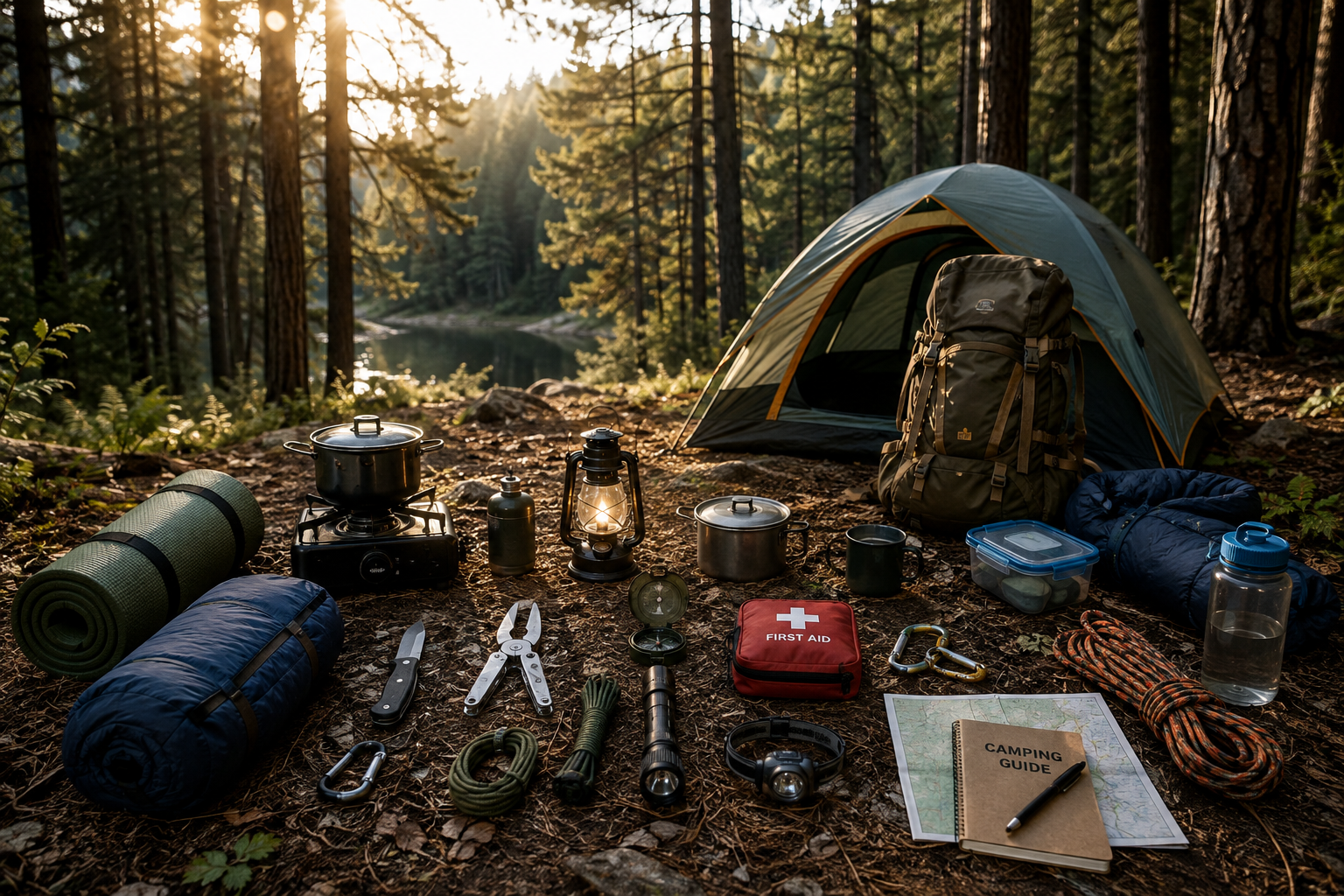
- Tent campers: bring a waterproof shelter, ground protection, warm sleeping system and dry clothing.
- Car and RV campers: confirm pad length, road access, service availability and legal overnight permission.
- Beach visitors: bring tide information, grippy footwear, rain protection and a safe turnaround plan.
- Forest visitors: pack water, offline maps, a headlamp and a plan to remove all rubbish.
A small dry bag can keep electronics and spare layers organized during wet outings. Our HEETA waterproof dry bag review covers one compact option. Carry essential items where you can reach them without unpacking the whole vehicle.
Build your Washington camping itinerary around a confirmed campsite, one main outdoor activity each day and a weather backup. That gives you time to enjoy the coast, forest and waterfalls while keeping the travel practical.
Leave a Reply
You must be logged in to post a comment.