
This Missouri camping guide brings together river adventures, rocky trails, lake campsites and cultural stops. Compare free camping in Missouri with paid state park and national park campgrounds. Then choose a base that fits your tent, car or motorhome, with time left for a local meal and a museum visit.
Planning information: Official sources checked October 1, 2026. Published rates below are 2026 planning references; your selected site and dates determine the final total. Distances and driving times are approximate estimates, not live navigation. Always check current access, closures and campground services before departure.
Missouri camping guide: five scenic bases
| Base | What to explore | Camping choices |
|---|---|---|
| Ozark National Scenic Riverways | Current River, Jacks Fork, Alley Spring and Mill | Paid developed sites; free gravel-bar camping for qualifying float trips |
| Johnson’s Shut-Ins and the St. Francois Mountains | Rocky river scenery, Elephant Rocks and Taum Sauk trails | Paid tent and RV campground; forest backpacking requires separate planning |
| Lake of the Ozarks | Lake coves, trails and boating | Paid state park sites or free primitive camping at Fiery Fork |
| Table Rock and Branson | Lake scenery and Ozark woodland | Paid lakeside camping; Piney Creek wilderness for a separate backpacking trip |
| Graham Cave and central Missouri | Cave shelter, hiking and woodland scenery | Paid park campground or free designated camping at Whetstone Creek |
Verified campsite fees and reservations
Start with the services you need. A basic campsite normally has no electrical hookup. An electric site may still lack water and sewer at the pad. Therefore, inspect the individual site listing before booking an RV stay.
| Campground or option | Published 2026 nightly rate | Important detail |
|---|---|---|
| Ozark Riverways developed standard sites | $20 non-electric / $30 electric, April 15–October 15 | Reservation required |
| Ozark Riverways developed standard sites in winter | $10 non-electric / $20 electric, October 16–April 14 | Services vary by campground and season |
| Johnson’s Shut-Ins | $19 basic; $28 electric 30A; $30 electric 50A; $35–$39 full hookup | On-season examples; walk-in tent sites also listed at $19 |
| Lake of the Ozarks State Park | $15 basic; $27 electric 30A; $29 electric 50A | On-season individual-site examples |
| Table Rock State Park | $16 basic; $28 electric 30A; $30 electric 50A; $33–$36 full hookup | On-season examples; Table Rock’s on-season runs March–November |
| Graham Cave State Park | $14–$15 basic; $23–$27 electric 30A | On-season weekday/weekend pricing |
| Fiery Fork and Whetstone Creek | $0 under the current MDC camping guidance | Primitive services, area rules and closures apply |
State park figures come from the official 2026 on-season chart. Family sites and other special site types have separate prices. The state fee page lists a nonrefundable reservation charge of $6.50 online or $8 through the call center, per site. Check the quote for your dates, especially for winter camping or a trip in 2027.
1. Ozark National Scenic Riverways: springs and river camping
The Current and Jacks Fork rivers make this a strong base for paddling, spring viewing and forest walks. Around Eminence, Alley Spring and Mill combines striking water scenery with local history. Choose one river section for a short visit rather than trying to cover the entire park.
Paid camping inside the riverways
Alley Spring, Big Spring, Round Spring and Pulltite are developed campground choices. They accommodate different combinations of tents and RVs, with services varying by location. Reserve through Recreation.gov and check pad length, electricity, water and seasonal shower availability. The standard-site seasonal rates are shown above.
Do not assume backcountry means free: The NPS states that its backcountry campgrounds require reservations and have charged a year-round fee since April 15, 2025. An old free-camping listing may no longer describe the current arrangement.
Free camping for a river journey
Gravel-bar camping is free without reservations for travelers arriving as part of a float or boat trip. It is allowed only on NPS-owned land, at least 300 yards from developed or backcountry campgrounds and 100 feet from other gravel-bar groups. The park compendium limits occupancy at a location to five days. This option is intended for river journeys, not driving in or ferrying equipment to create a stationary vehicle camp.
Before committing to an overnight float, confirm land ownership, river levels, takeout access and a shuttle. Carry safe drinking water, dry bags, a suitable life jacket and a lawful waste-disposal plan. Move your plans to a developed campground if the forecast or river conditions do not suit the trip.
Food, history and practical access
The Dairy Shack in Eminence is a casual food stop; check its current menu and operating hours. Alley Mill and the nearby store offer cultural interpretation within the park. Allow roughly 6–8 miles and 10–15 minutes from Alley Spring Campground to Eminence, depending on your site.
Spring and fall are useful for hiking, while summer attracts river travelers. Pack footwear with traction, insect protection and rain gear. The NPS 2026 visitor information states that Round Spring Cave tours are closed for the season because of bridge repairs, with a tentative summer 2027 return. Do not build a current itinerary around an available cave tour.
2. Johnson’s Shut-Ins: rocks, mountain trails and waterfalls
Johnson’s Shut-Ins State Park is a scenic base for the St. Francois Mountains. Add Elephant Rocks for its granite boulders and Braille Trail, or choose Taum Sauk Mountain for a more demanding walk. Mina Sauk Falls is a wet-weather waterfall, so its flow depends on recent conditions.
Camping and regional alternatives
The Johnson’s Shut-Ins campground offers walk-in, basic, electric and full-hookup sites. Tent travelers can choose a walk-in site, while motorhomes need a pad of suitable length and the correct service. The campground is a separate area from the shut-ins attraction; plan to drive between them.
For another paid mountain base, Taum Sauk Mountain’s basic campground appears at $15 per night in the 2026 on-season chart. Check the park’s current campground arrangements and services before arrival. It is a simpler option than a full-hookup RV campground.
Free camping nearby: This guide does not identify a verified free developed campground immediately beside the shut-ins. Mark Twain National Forest has dispersed camping opportunities, but national forest land and state park boundaries follow different rules. Confirm an actual permitted location with the district and use its map. A scenic turnout or state park trailhead is not an automatic campsite.
Restaurants, museums and seasons
Baylee Jo’s BBQ, at 1315 North Highway 21 in Ironton, offers a barbecue-oriented meal stop. Pair it with the Battle of Pilot Knob State Historic Site, whose visitor center and museum interpret the Civil War battle. Budget roughly 20–30 miles and 30–45 minutes from the campground to the Ironton/Pilot Knob area.
From Johnson’s Shut-Ins, Elephant Rocks is approximately 15–20 miles and 25–35 minutes away. Allow more time for Taum Sauk’s access road and a full hike. Spring or fall works well for trails. In summer, check the shut-ins’ current access and water conditions before entering the water. Carry grippy shoes, drinking water, a first-aid kit and a headlamp for a late return.
3. Lake of the Ozarks: lake camping and a free forest base
Lake of the Ozarks State Park combines shoreline recreation with quieter coves and walking opportunities. It suits travelers who want a campsite near boating services and town amenities. Choose your outing around the campground’s location because different lake arms can require substantial road travel.
Paid campsites and free Fiery Fork camping
The state park campground offers basic and electric sites. Use the rate table as a starting point, then confirm the exact site, pad dimensions and operating facilities. An electric reservation does not establish that you have full hookups.
Fiery Fork Conservation Area, northwest of Camdenton, lists individual campsites and short hiking trails. Under current MDC guidance, permitted conservation-area camping is free. Treat it as a primitive forest base: bring water, expect no RV hookups, and check the map and ground conditions before bringing a large vehicle.
Fiery Fork lies in a different part of the region. Allow approximately 40–55 miles and 60–80 minutes to the Lake of the Ozarks State Park campground, depending on your chosen access. For repeated lake outings, the paid park may save enough driving to justify the fee.
Food and local history
Wobbly Boots Roadhouse, at 4717 Osage Beach Parkway, serves barbecue, ribs and sandwiches. The Willmore Lodge Museum near Bagnell Dam adds lake and dam history. Check museum hours before making a special journey.
From the state park campground, allow roughly 15–25 minutes to Osage Beach dining and 25–40 minutes to the Bagnell Dam area. Late spring through early fall suits a lake trip; shoulder seasons can make a walking-focused stay quieter. Carry sun protection, a cooler, rain gear and life jackets for boating.
4. Table Rock State Park: lakeside camping near Branson
Table Rock State Park offers a combination of wooded campsites and lake access near Branson. This base works especially well if you want nature during the day and a restaurant or attraction afterward.
Paid camping and a wilderness alternative
The park has two campgrounds with basic, electric and sewer/electric/water sites. Its camping page also describes family and platform tent options. Reserve the site type that matches your equipment. In winter, check water and shower operations separately from campground opening dates.
For additional paid choices around the lake, the Table Rock Lake Recreation.gov directory lists Corps of Engineers campgrounds. Services, prices and seasons vary, so compare an individual listing rather than assuming every lakeside campground has the state park’s rate.
Free regional backpacking option: The Forest Service’s Pine View Tower information describes free dispersed camping in the forest outside designated campgrounds and access to Piney Creek Wilderness. This is a separate wilderness trip on the western side of the lake region. Confirm the current trail, boundary and camping restrictions. Wilderness travel suits prepared hikers; vehicles and RV camps cannot be taken into the wilderness.
Branson food and museums
The Farmhouse Restaurant, at 119 West Main Street in downtown Branson, offers home-style cooking. The Titanic Museum Attraction is another option for an indoor cultural stop. Check tickets and operating times before choosing a visit.
Allow roughly 10–15 miles and 20–35 minutes from Table Rock State Park to downtown Branson; entertainment-district traffic can increase the trip. Spring and fall make a balanced hiking-and-town itinerary appealing. Summer is useful for lake outings, with early starts helping you avoid the hottest part of the day. Bring insect repellent, sun protection and spare drinking water.
5. Graham Cave and Whetstone Creek: central Missouri camping
Graham Cave State Park makes a convenient woodland stop near the I-70 corridor. Its cave shelter and trails give the trip a natural and archaeological focus. Visit respectfully and follow posted boundaries around the shelter.
Paid park camping and free designated sites
The park campground offers a paid base with basic and electric choices. The 2026 chart lists lower basic rates on weekdays, while electrical pricing also varies by day. Check shower operations and the dump station if those services matter to your stay.
Whetstone Creek Conservation Area allows camping only in designated locations shown on its map. Current MDC camping guidance lists conservation-area camping as free. It is a regional alternative, approximately 25–35 miles and 35–50 minutes from Graham Cave, not an adjoining campground.
2026 closures: Whetstone Creek is posted closed to all public use for managed firearms deer hunts October 16–18, November 19–23 and December 4–6. Its Big Lake is also posted closed to boats during renovations. Check the area notice before planning a camping or boating stay.
Restaurants, culture and a practical day trip
Fulton provides a regional culture outing. Beks Restaurant & Bar offers American dining downtown. Pair it with America’s National Churchill Museum on the Westminster College campus. Its history exhibits and surrounding memorial setting can complement a morning outdoors.
Allow approximately 20–30 miles and 30–45 minutes from Whetstone Creek to Fulton, or 35–45 miles and 45–60 minutes from Graham Cave. Spring and fall are comfortable starting points for walking, subject to closures and weather. Carry drinking water, insect protection, a rain layer and supplies for a primitive overnight if staying at Whetstone.
Missouri camping guide: rules for free stays
The MDC camping guidance currently lists free camping on areas where the activity is allowed. Many provide few services and none have RV hookups. The normal limit is 14 consecutive days in a 30-day period, with 30 total camping days per calendar year across department lands. Groups over 10 need a special-use permit. Individual area restrictions still control.
Check future permit changes: MDC has announced a proposal for a paid camping permit beginning in 2027. Recheck the current rule and area listing before a future trip; a free 2026 stay does not establish that a later stay will have the same requirements.
National forest rules are separate. Mark Twain’s posted forest-wide occupancy order limits camping to 14 days within a 30-day period across the forest. Moving to another forest campsite does not reset the limit. Obtain current maps and check local restrictions before choosing dispersed camping.
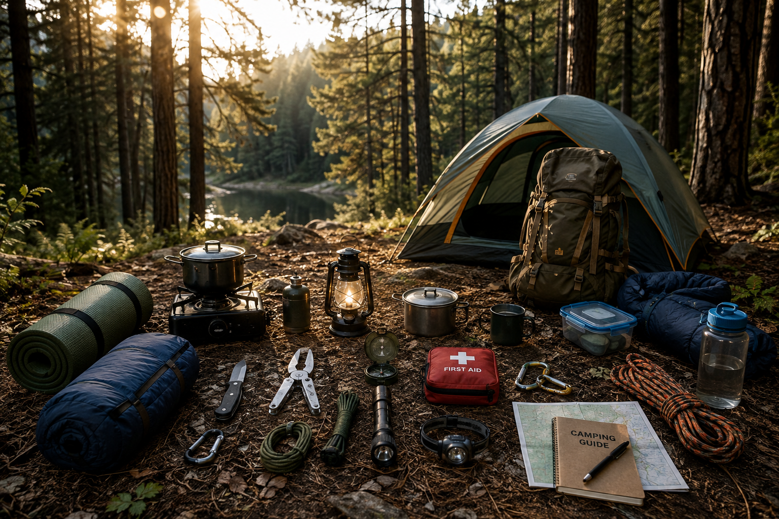
Essential gear for Missouri camping
Use this Missouri camping guide to match your gear to the services available. For example, a paid lakeside site with showers needs less water capacity than a primitive conservation campsite. An overnight float adds dry storage, a shuttle and a river-specific plan.
- Shelter: A tent with rainfly, suitable stakes, a groundsheet and basic repair supplies.
- Sleep: An insulated pad and sleeping bag matched to the forecast nighttime low.
- Water and food: Safe drinking water, refillable bottles, a stove, fuel, cookware and secure food storage.
- Clothing: Walking shoes with grip, a rain shell, extra socks and a warm layer for cool evenings.
- Light and navigation: A headlamp, spare power, offline maps and a paper backup for remote trails.
- Personal supplies: Insect protection, sunscreen, a first-aid kit, medicines and waste bags.
- River equipment: Life jackets, dry bags, a verified takeout and a plan for changing water levels.
- RV supplies: Correct cables, leveling blocks, a drinking-water hose and lawful wastewater-disposal equipment.
Plan a focused Missouri weekend
Choose one base and two or three outings. For instance, pair Alley Spring camping with a short float and a meal in Eminence. Alternatively, stay at Johnson’s Shut-Ins and combine Elephant Rocks with Pilot Knob history. Table Rock works well for a lake morning and a Branson afternoon.
Before leaving, confirm the campsite, forecast and current land-manager notices. Buy firewood locally, keep food secure and leave campsites clean. This Missouri camping guide offers a starting route; the best trip gives you enough time to enjoy each place and adapt when weather or access changes.
Leave a Reply
You must be logged in to post a comment.